-

President Richard hands over to New President Jaswant -

President Richard with Ramesh as he joins Slough Rotary as our newest member -

Fiona joins Slough Rotary in her own right, Geoff would be very proud -

Year 4 at every school in Slough get a dictionary for life -

The New President and Vice shake on it -

The Quiz was held in Bourne End this year was a big success -

Kate generated some lively discussion during her visit to Slough Rotary -

Happy winners of the Slough Rotary Quiz -

Robin has been a Slough Rotary Member for 50 years of Service above self -

Slough Rotary were very impressed with Hannah an ADHD Student who has grown in confidence -

It was a happy event welcoming the new President -

Slough has reached the giddy height of 90 Years of Service -

Geoff Try is presented with his 60 years of Rotary Service Paul Harris Award -

They did it again for the first time a repeat win The Craufurd Arms -

Good friends help Slough celebrate 90 years of Rotary. -

Lovely to see old friends walking again on a sunny day in the spring at The Together Walk -

Small but perfectly formed celebration of St Georges Day and the Queens Birthday -

The 2022 Quiz was really good fun everyone enjoyed themselves -

We finally arrived at Christmas 2021 with some of the top Brass enjoying the party -

Slough MP Tan Dhesi and Mayor Nazir join some of the Rotary Walk team at this years Awards Dinner -

The Slough Schools enjoy planting crocus bulbs to remind us that we have almost eradicated Polio -

Danielle talks about the fantastic Medical detection dogs -

The Mayor cuts the tape to start this years Walk -

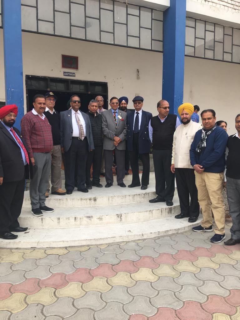
Nice to be able to finaly have a live Presidents Handover meeting -
 Virtual Walk winners raised a few thousand pounds better than none")
The Covid-19 caused Virtual Walk winners raised a few thousand pounds better than none -

Very sombre remembering the fallen this year -

We cannot give the Dictionaries to each child but we can get them to the schools -

Slough Rotary Continues to work via Zoom -

Slough Rotary sad at the loss of a very valued member Surrinder -

Slough Rotary Quiz 2020 Winners James Heriot Greasy Elbow -

Slough Together Walk 2018 -

The Woodland Trust provide trees with Slough Council and local Schools to build a copse -

Slough Rotary honour the brave
If you have some spare time see if you can help?
Looking for something this year find out what Slough Rotary is all about. The Pines Hotel Slough 60 Wymers Wood Road, Slough SL1 8LJ Thursday evenings at about 6.45pm come along, you may enjoy it.

Grant Form online application
Grant Form online application, this is the only way we will consider a grant. Keep it brief and to the point, and we will come back to you for more detail.
We like to help those who try to help themselves.